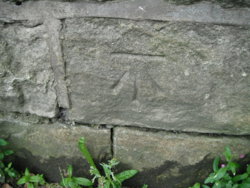
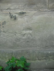
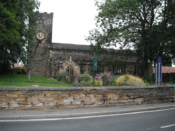
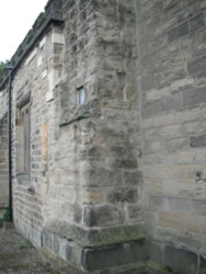
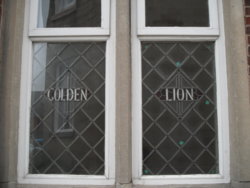
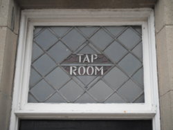
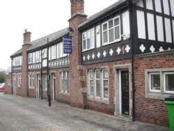
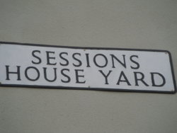
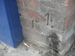
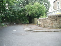
Newmarket House
(old CastleGate Lane)
Stanley (as it still is, at this location, Leeds border follows the M62 along here)
Very much a back-water, & probably a forgotten 'BM'?
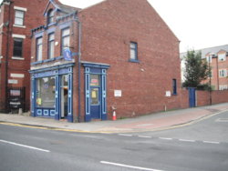
This was a farm, then I remember it as a restaurant, offices
Now there's a Mews to the rear (converted, & extended out-buildings)
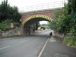
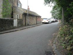
Junction 30/M62 is less than 300 yards away (behind me, in the central photo)
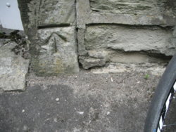
It's on the top of the rise to the right;
https://www.geograph.org.uk/photo/2734881
Road, rose to span the railway here;
https://www.geograph.org.uk/photo/4321439
Pre-dual-carriagewaying of Aberford Road (A642) the central picture was Aberford Road, as it rose to bridge a railway (East & West Yorkshire Union Railway)
It can be seen in this link, use the blue-slider to go to modern aerial photography;
https://maps.nls.uk/geo/explore/#zoom=18&lat=53.7247&lon=-1.4600&layers=168&b=1
(old kerbstones are still visible in the undergrowth, as the pavement is now a footpath (centre photo)
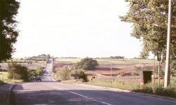
And, a 1960s(?) image of the area, looking northwards from Stanley, towards the location of jct 30
Railway bridge, in the immediate foreground, & the forthcoming M62 being levelled out, in the mid-distance
Scroll down to;
Robin Hood to Patrick Green & River Calder (Colliery line)
http://www.lostrailwayswestyorkshire.co.uk/E&WYUR.htm


