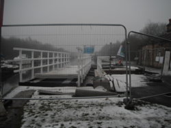
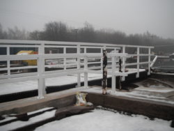
This morning, whilst out, I had a look at the new swing-bridge that's in the process of installation over the Aire & Calder Navigation Canal
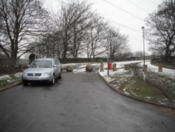
It's from Water Lane, to Calder Row. the row of (ex) Canal company terraces on the other side
The predecessor was a vehicular bridge, but has been chained in the
'Canal Open' status for quite a few years
I am given to understand there was a legal battle over the vehicular rights over part of Water Lane, as someone claimed ownership
(besides, it wasn't in great condition prior to removal)
The Geograph link shows the previous bridge, & footbridge, which I have used many times, on my XC run to work (pre 'Eastern Relief Road' & forthcoming new housing estate, closing a couple of paths/tracks)
It also has a location map, below the picture
http://www.geograph.org.uk/photo/2935983
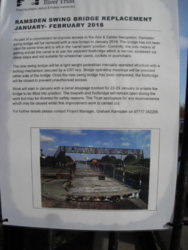
From the poster, it looks like the bridge will be locked in the
'Canal Closed', as the need for a key is stated
Presumably the key will not be removable, unless the bridge is returned to
'Canal Closed' status?
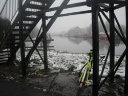
And, looking down the Canal, towards the road bridge, & the Marina
This is the footbridge that will be closed, when it opens